A picture paints 1,000 words
The profession is becoming increasingly comfortable with technology as it gains traction, and grows in relevance and importance, as table 1 indicates. Indeed, the time will come when the majority will not remember when technology was not part of their lives. Changes aside, the act of collecting data will remain at the heart of what any surveyor does.
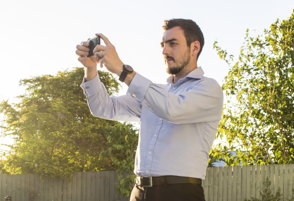
I recently researched technology use in the industry through questionnaires. The question in Table 2 deliberately omitted tablet as an option. A tablet can do all of these things but I knew it would not be clear in isolating what may be the most important tool at our disposal. The majority selected the stills camera option, and when asked to qualify their selection a common response was the adage: “A picture is worth a thousand words”.
The notion that a complex idea can be conveyed with a single still image, or that an image of a subject conveys its essence more effectively than a description, aptly characterises one of the main goals of visualisation, namely making it possible to absorb large amounts of data quickly.
Capturing images today is incredibly accessible, fast and straightforward. Photography is a must for any site inspection, even if only for the surveyor’s own reference at a later date. Often though, unless featuring as part of a report or schedule, images will remain unorganised and become archived with their rich context being lost with each passing day.
Taking a record
RICS’ Building surveys and technical due diligence of commercial property 4th edition guidance note recommends that the surveyor always takes and keeps a permanent record of site notes (http://bit.ly/1N7pULW.). There are solutions that use technology to aid note taking. However, our respondents were clear when asked to consider the disadvantages:
- electronic forms are often not reflective of the specific skills and expertise of the user, diminishing the surveyor’s role
- forced data validation and restricted fields often conflict with the real life scenario, demonstrating a lack of flexibility and decision making
- added risk from repetitive strain injury, be it raised arms carrying load or a crooked neck and back from prolonged periods of looking down at a cradled tablet.
These disadvantages are a clear invitation to approach data capture differently. We apply a recommended methodology to inspections, perhaps we should be doing the same for the images we capture.
Context
If an image says a thousand words, it becomes the surveyor’s responsibility to record those words. After all, without recording the detail in good time, those ‘one thousand words’ are likely to diminish.
Further context can be mined from images saved as specific file formats. Most have accompanying metadata; a record of key data such as date and time. Images captured by GPS-enabled devices (i.e. any smartphone) will also record geodata such as latitude and longitude to an accuracy dependent on your GPS signal strength. When harnessed correctly, the context of images mapped by location for a client can become very valuable information.
A host of apps are now available for this task, save us time, and thus, clients’ money. Other factors such as consistency, flexibility and scalability become secondary selling points. GoReport and Kykloud have gained traction in this area. However lighter-weight approaches are emerging such as Beyond Condition, that avoid being prescriptive about what data is entered and when.
Tablets
The success of Apple’s iPad cannot be ignored. In the design and marketing, a perception has developed that the ‘future’ is likely to feature the product. As versatile as the device has proved to be, is a tablet really our data capture endgame in the search for increased productivity?
Many app solutions estimate how much time a building surveyor could save, but in truth this is difficult to quantify. Many exercise some kind of rule of thumb, whereby an hour spent on site is worth five at the desk, reports that would otherwise take three days become much shorter, and covering 1,000m² will not necessarily take a day.
However, some respondents appear to be more realistic; “every brief is different, every site is different”, “it takes as long as it takes”. In addition, surveyor’s performance and experience will naturally differ from one another. Taking these factors into account, the gambit of tablets and their apps saving surveyors’ time does not hold.
This temptation to ‘appify’ solutions may be distracting us from examining what works well and exploring how to make that work better. The findings of the questionnaire suggest that cameras work well for everyone, regardless of the device or app into which it has been integrated.
In the context of a building survey, we observe instances where human behaviour will still seek to shortcut the use of the tablet and any restrictions it presents. It is important to examine these behaviours to ensure we are achieving true productivity. In the majority of cases the camera becomes our fail safe, our comfort blanket.
Future
In using a tablet as a primary and sometimes sole means to undertake work, the danger is that we may be swept up with this decade’s fashionable trend. The image of someone working with a tablet instead of a paper pad presents to clients a ‘progressive’ and ‘innovative’ firm.
However, we should think about the lack of transparency for clients, especially when it is not often we have unambiguous data supporting the benefits we are selling, be it saving time, or otherwise. We need to examine what we are good at, and how we can take advantage of the strengths presented by new tools without overlooking those have always aided us.
Our [RICS] membership holds us accountable for undertaking continual professional development (CPD). This should not just mean catching the occasional seminar; we should be seizing opportunities to try new ways of doing things.
Newer members of the profession, raised with mobile screens and internet access, should also consider the implication of this and not become complacent simply because they are used to tablets. It is our ability to reflect on the data we have captured that cannot be substituted with automation.
Even though the humble camera has undergone major advances over the decades, it is still doing what it does best; recording a moment in time. Surveyors ought to contemplate the respect that deserves, and acknowledge that only we can decide how many words that picture says. ‘Est modus in rebus’ (RICS’ motto; there is measure in all things) – even with photographs.
CJLM
This article first appeared in the print edition of RICS Building Surveying Journal March – April 2016.
http://bit.ly/BSJMar2016


